
/* Riley generator
* (c) Ed Parham 2015
*/ Read More
/* Riley generator
* (c) Ed Parham 2015
*/ Read More
/* Spot Painting Generator
* (c) Ed Parham 2015 */
This is a summary of a number of issues around Integrated Urban Modelling discussed in a panel session at the Future of Wireless International Conference 2015. This picks up on a number of issues raised by the Integrated Urban Modelling post but has more of a focus on data.
What are the implications for a fully connected world and how will this impact on the urban landscape?
The opportunity is to collect data at a scale, resolution and frequency that was previously impossible. This means it’s possible to see patterns of movement across an entire city across the whole day. The real question though is how best to use this, and what do we actually need to make cities better?
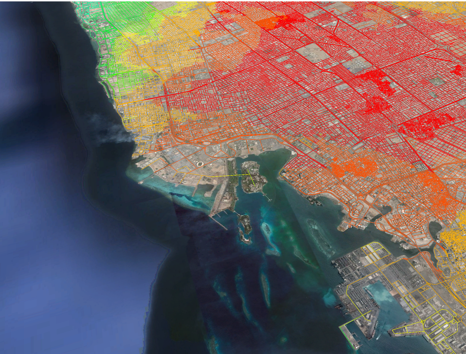
This is a summary of a number of issues around Integrated Urban Modelling presented and discussed in sessions at the BRE Cities Convention, Modelling World 2015, the Future of Wireless International Conference and in the paper: “Integrated sub-regional planning informed by weighted spatial network models: the case of Jeddah Sub-regional system”, (co-authored with Dr Kayvan Karimi and Abhimanyu Acharya) and presented at the 10th Space Syntax Symposium. Presentations can be found on the relevant websites.
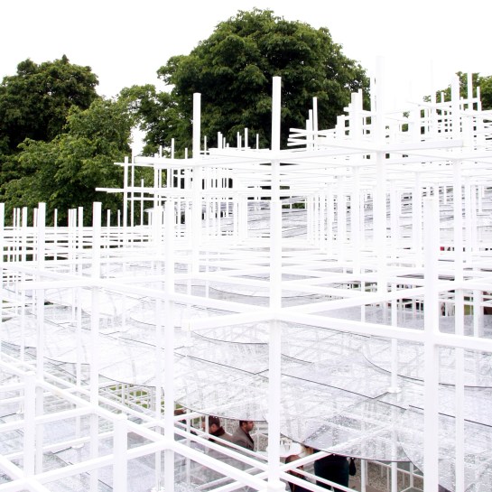
This gallery contains 11 photos.
Serpentine Pavilion 2013 Sou Fujimoto Continuous Monument 1969, Superstudio All 2013 London photos by Ed Parham

Many rapidly growing urban areas seem to share a similar characteristic that development has occurred in large discrete sub-divisions. These areas of the city appear visually (from the air) as clear layers; dense development could be flanked by vacant land, the design of one sub-division may have no relation at all to the area next to it, one sub-division – or a network of highway infrastructure – may have been layered over the top of an exiting area with no regard for it. On the ground often these areas are infuriating to use – illegible, confusing and complex.

Introduction
The work of Bill Hillier has shown that patterns of urban form and movement are intrinsically linked. These patterns also influence the distribution of land uses, land values and density across cities: the structure of spatial networks encourage movement to and through some areas (these tend to develop as places of trade or exchange), and discourage movement from other areas (these tend to be more private residential areas). Because the spatial structure influences so many characteristics of a city, the right structure can make it easier to ensure the social, economic and environmental sustainability of a city.
As urban function has such strong requirements for movement, the ability to simulate movement and use this to generate urban form could be very useful, especially in rapidly growing cities where layouts can be generated quickly and land uses/densities distributed where they will not need major change at a later point in time.
This piece shows the results of an experiment to test the outcome of a generative design approach that uses simulated movement from a wider urban context to generate an urban form.


