Archive

Design

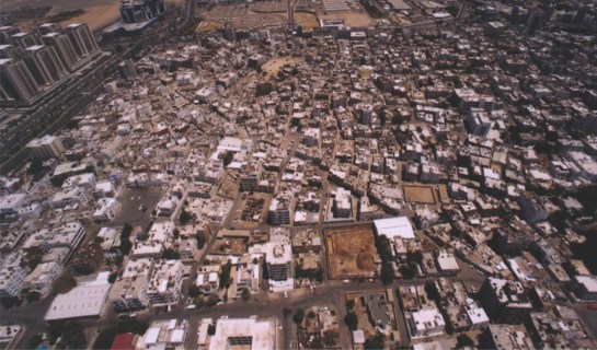
Earlier posts looked at why (master) planning hasn’t worked as intended, reaching one conclusion that the design outcomes weren’t flexible enough. The response was to aim to design the fewest fixed components and allow the city to grow more organically on a plot by plot basis within this framework. Changes in the economic or social context would be reflected by variations in density, land use, massing and speed of growth.

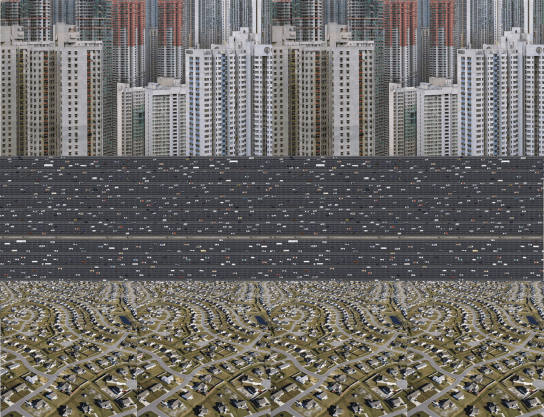
An early outline of fixed components includes solids (blocks, plots) and voids (street, infrastructure, and utility networks). Of course there are a secondary set of requirements that must be provided, but which there is some flexibility in terms of location or exact configuration – these include social infrastructure etc.

This post starts to set out how to develop this spatial framework. Building on Bill Hillier’s idea of the Movement Economy (1) – the configuration of space affects the distribution of people who affects the distributions of land uses and values – the starting point is the spatial network. Space is very difficult to change, with far-reaching impacts, while buildings can be replaced, and land can be bought and sold.

In turn this post becomes an examination into the geometry of spatial networks and urban blocks.

As always these are developing thoughts.

Read More

sherafiyah

These are some developing thoughts about how to plan and grow cities.

Growing, as opposed to planning or building, is important as the cities we think of as successful today weren’t designed in one attempt, or built in a few phases, but grew over many years.

There’s a lot of criticism of the way cities currently respond in a physical way to their wider economic and social context. It is arguable that planning in its current form has not and does not achieve the objectives it sets out to. Many cities are fragmented by infrastructure, set out in low density single use zones, suffer poor health, are difficult to grow, irresponsive to market conditions, irresponsive to their residents, or uncoordinated in outcome.

Read More

title

This post works through two examples to make a case for measuring density in terms of population per length of street rather than population per unit area.

It uses two different building typologies to distribute people. While these are typologies rather than measures of density, they are important because they are often how higher level, block-based densities get interpreted and applied at the scale of the urban block.

In both cases a consistent block size and population have been used. The variation comes from the way this population is distributed at the block level (through individual buildings on individual plots, or through a single building on a single plot.

These two approaches have then been distributed across a grid of streets, and compared in terms of the number of people who live on each street. While this is a very simple measure – it does not consider the people who may be passing through the street as part of a larger scale journey – it does give an impression of the latent activity that could occur.

Read More

Block 1

This summarises some developing ideas on strategic planning, in particular trying to find a more spatial way to think about density.

Fundamentally density is a way of linking people to space in a way that can be compared within and between cities. However it could be argued that there are a number of flaws in the widely adopted approach, measuring people per hectare, that impact on the way cities function.

Read More